Thailand Warns of Heavy Rain Across 12 Provinces Starting Today
The Thai Meteorological Department issued a heavy rain warning for October 18–25, 2026, affecting 12 provinces initially and then broader regions. It warns of flash floods, landslides, strong winds, and high seas, urging the public to stay cautious and follow official updates.
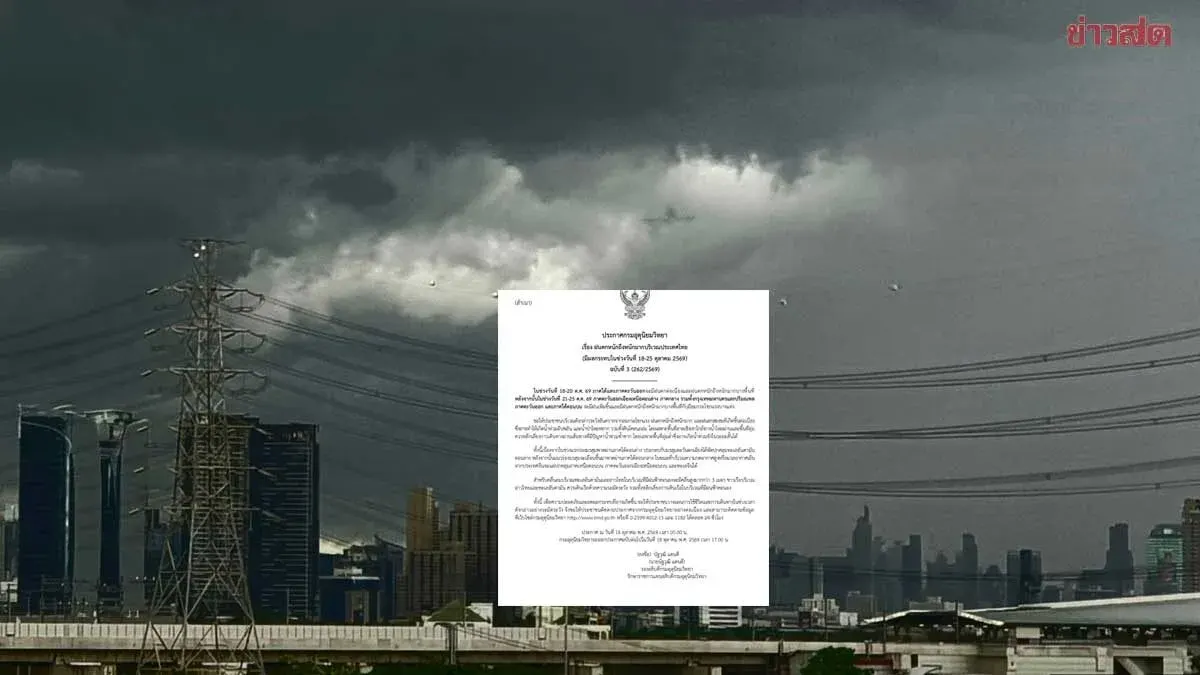
The Thai Meteorological Department announced its third heavy rain warning for October 18–25, 2026. From October 18–20, the southern and eastern regions will experience continuous rainfall with heavy to very heavy rain in some areas. From October 21–25, the lower northeastern, central, Bangkok metropolitan area, eastern, and upper southern regions will see increased rainfall, heavy to very heavy rain in some places, and strong gusts. The public is warned of dangers from strong winds, heavy to very heavy rain, and accumulated rainfall that could cause flash flooding, forest runoff, and landslides, especially on slopes near waterways and low‑lying areas. People should avoid travel through flood‑prone routes, particularly low‑lying spots where short‑term flooding may occur. The early monsoon trough lies over the lower south combined with a southwest monsoon over the lower Andaman Sea; later the trough moves to the central south while a high‑pressure system or cool air mass from China spreads over the upper north, upper northeast, and South China Sea. In the Andaman Sea and Gulf of Thailand, thunderstorm areas will see waves over three metres high; mariners are advised to navigate with caution and avoid sailing in thunderstorm zones. For safety, the public should plan activities and travel carefully, follow updates from the department via its website http://www.tmd.go.th or the phone numbers 0‑2399‑4012‑13 and 1182, available 24 hours a day.
The general weather outlook for October 18, 2026 shows heavy rain in some parts of the eastern and southern regions, while the upper country has isolated thunderstorms. Residents in those areas should beware of dangers from thunderstorms, heavy rain, and accumulated rainfall that could trigger flash floods and forest runoff, especially on hillsides near streams and low‑lying ground. The upper north, upper northeast, and South China Sea are under a weakening high‑pressure system or cool air mass, causing easterly winds over Thailand and the upper Gulf of Thailand, together with a monsoon trough over the lower south. In the Andaman Sea and Gulf of Thailand, thunderstorm areas will generate waves over two metres high; sailors should check routes and exercise caution, avoiding sailing in thunderstorm conditions. From October 18–20, the south and east will have continuous rain with heavy to very heavy rain in places; from October 21–25, the lower northeast, central, Bangkok area and vicinity, east, and upper south will see increased rain, heavy to very heavy rain in spots, and strong gusts in some areas. The public is urged to monitor weather updates closely and stay alert for dangers from heavy to very heavy rain.